Hobble Creek Flow
The Issue
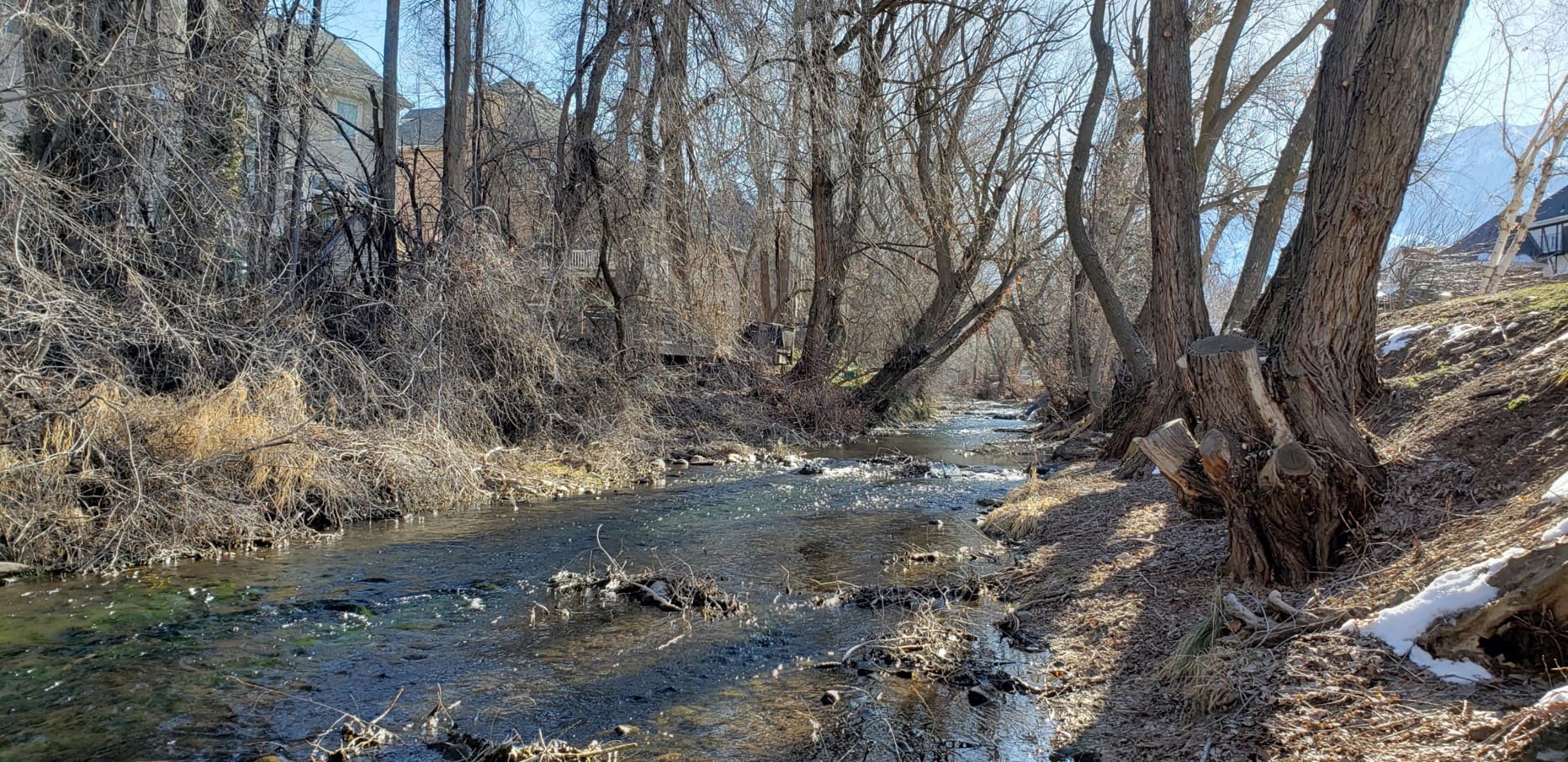
Lower-than-normal stream flows in Hobble Creek have allowed natural debris and vegetation to accumulate into the stream channel, limiting the stream’s water carrying capacity.
Hobble Creek water flows were high during snow-melt runoff in the spring of 2023.
Springville City (City) personnel routinely clear debris from stream banks at roadway bridge crossings and irrigation take-out structures along Hobble Creek to reduce the risk of flooding. The City does not engage in creek maintenance along private property.
What You Can Do as a Resident/Property Owner
Homeowner stream bank maintenance includes the removal of fallen trees, branches and other natural debris that may inhibit stream flows. Debris on your property stream bank may affect your downstream neighbors, so you are encouraged to mitigate this private issue through proper stream bank maintenance.
How to Get Rid of the Natural Debris on My Stream Banks
If you need to dispose of your natural debris, the Green Waste Facility at 600 W 700 N is open and available for residents for self-drop off.
Moving Forward
Please take the time to review your individual stream bank condition, and take action to ensure that swelling spring flows can safely pass through the residential areas of Springville.