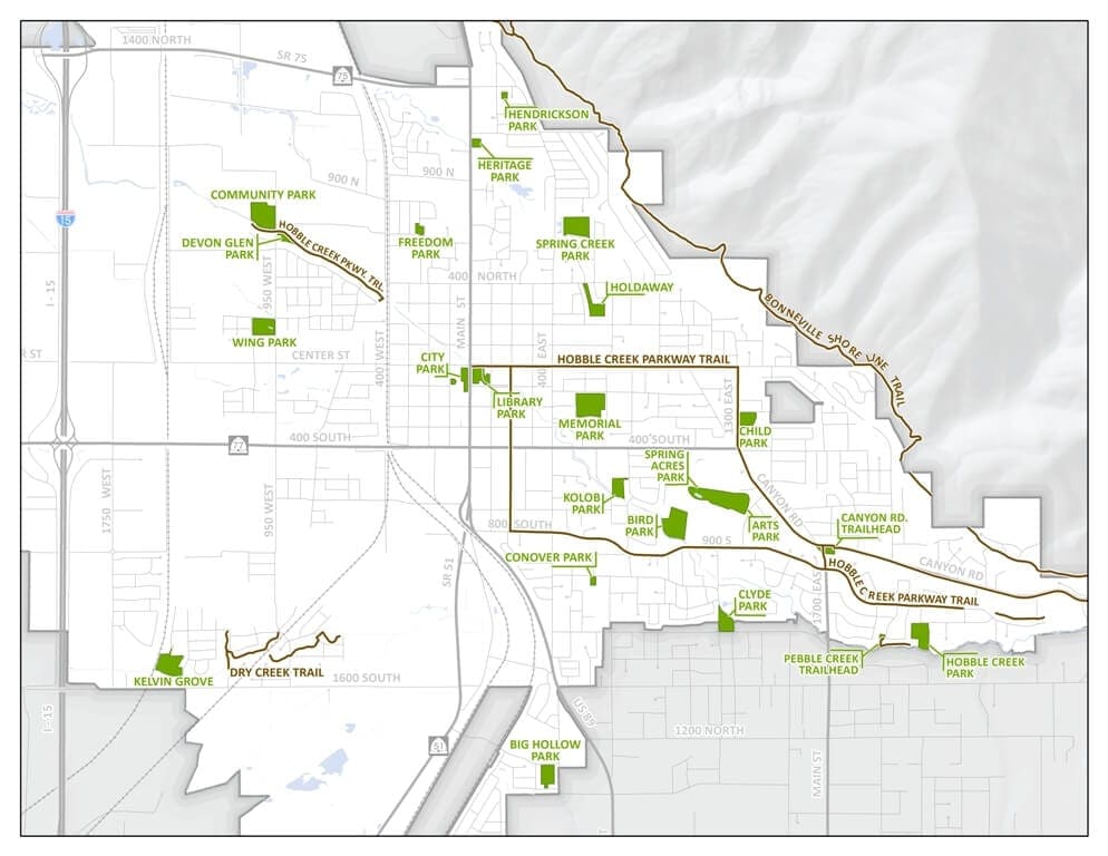
Springville City Maps
Interactive Maps

Updated daily
Updated 03/2020

Updated 05/2021
Updated 01/2023
Updated 01/2023
City Maps

Updated 05/2021

Updated 12/2011
Updated 12/2011

Updated 12/2011

Updated 12/2011

Updated 10/2017

Updated 07/2017
Updated 12/2011

Updated 12/2011

Updated 07/2021

Updated 08/2014

Updated 12/2011

Updated 06/2020
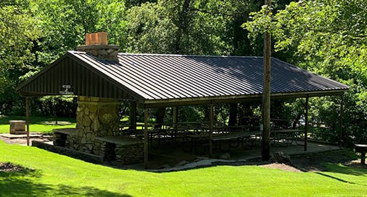
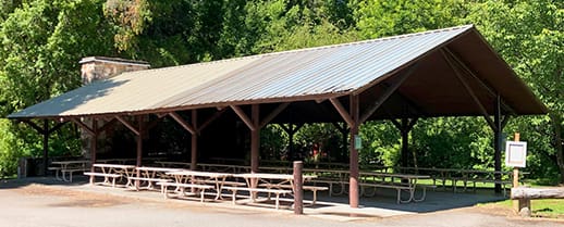
Park Maps
Updated 12/2011
Updated 12/2011

Updated 12/2011
Updated 12/2011

Updated 12/2011
Updated 04/2012
Disclaimer: While every effort has been made to ensure the accuracy of all GIS information, Springville City makes no warranty, expressed or implied, as to its accuracy and expressly disclaims liability for the accuracy thereof.